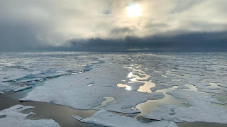
Scientists are believed to have discovered a new landmass, the northernmost in the world. The island has not yet been named and will soon be swallowed up by sea water. What is the shape?
"It wasn't our intention to discover new islands. We were just going there to take samples," said Morten Rasch, explorer and head of the Arctic Station research facility in Greenland.
More or less, this island is only 30 meters in size. Then, it has a peak about three meters from the seabed mud and moraine, a soil and rock left by a moving glacier.
These experts suggested that it be named 'Qeqertaq Avannarleq'. For his own understanding, that is 'Northern Island' in Greenland.
They initially thought they had arrived at Oodaaq, an island discovered by a Danish survey team in 1978. But the reality was different, with scientists claiming it was a new island 780 meters northwest.
"Everyone is happy that we found what we thought was the island of Oodaaq," said Christiane Leister, founder of the Leister Foundation which funded the expedition.
He said it was like explorers in the past, who thought they had landed in a certain place. However, actually found a completely different place.
They accidentally found this small island, when there was a battle that loomed over countries, such as the United States, Russia, Canada, Denmark and Norway.
They are fighting over territory in the Arctic, some 700 km to the north and its seabed, fishing rights and shipping routes. This is revealed by the melting of ice due to climate change.
Although the island is exposed to shifting ice, scientists say its appearance is not a direct result of global warming. As is well known, this effect results in the shrinking of the Greenland ice sheet.


